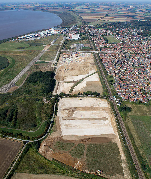
Location:Humber Estuary
 Client:The Crown Estate c/o Carter Jonas (Agents)
 Value:£280,000
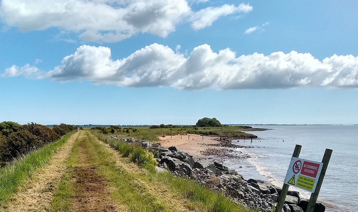
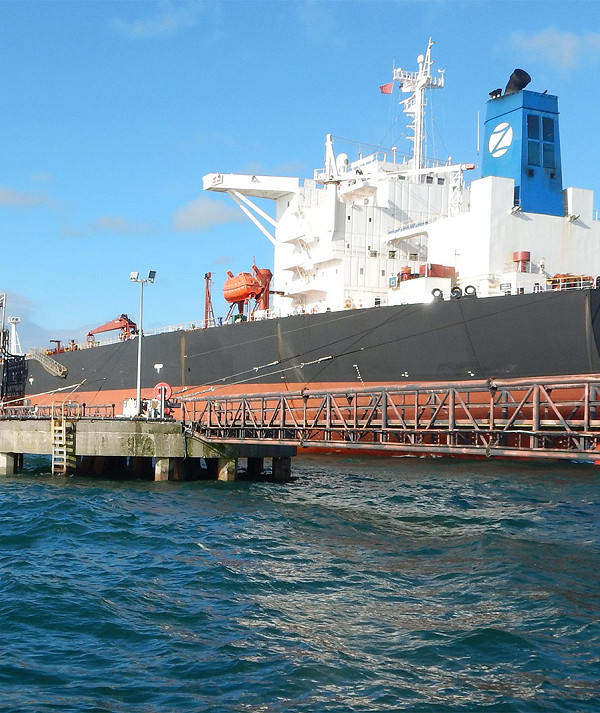
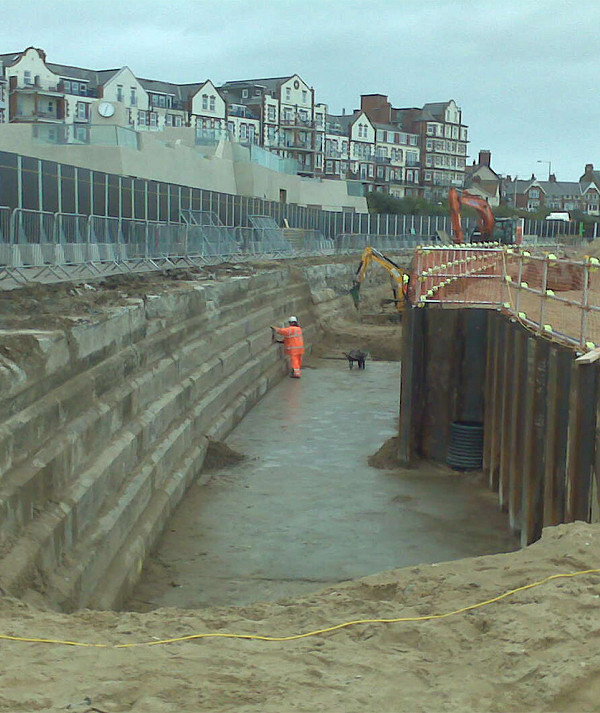
The flood bank at Hawkins Point protects valuable agricultural land on Sunk Island. Active erosion threatens the bank and a protection scheme has been implemented to prevent breaches and avoid significant economic damage from tidal inundation.
Any breach of the flood defence bank would inundate the land behind the bank on high tides and cause huge economic damage to the land. The bank is actively eroding at the toe and therefore the bank protection scheme has been designed and will be constructed to address this.
Alan Wood & Partners (AWP) provided a full design package, including initial inspection, topographical survey, costed design option appraisal and final design. The final design was selected to minimise disruption whilst working within a Special Area of Conservation, Special Protection Area, and Ramsar site in addition to the national designations for SSSI and Important Bird Area.
Following the completion of the design, AWP provided a Flood Risk Assessment, Habitat’s Regulations Assessment, Ecological Impact Assessment and Construction Environmental Management Plan all required to supplement the applications for planning consent, Marine Licence & Environmental Permit.
Upon receipt of the required licences AWP were also asked to develop a tender package, manage the procurement process and undertake Project Management and site supervision duties under the selected NEC Option A Contract.
Construction of flood bank protection consisted of circa 2800T of Granite Primary & Secondary Armourstone underlaid by a suitable geotextile.
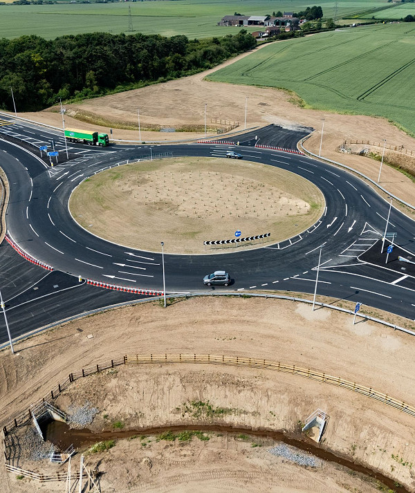
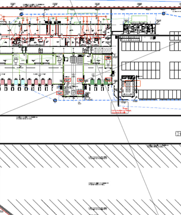
Other projects